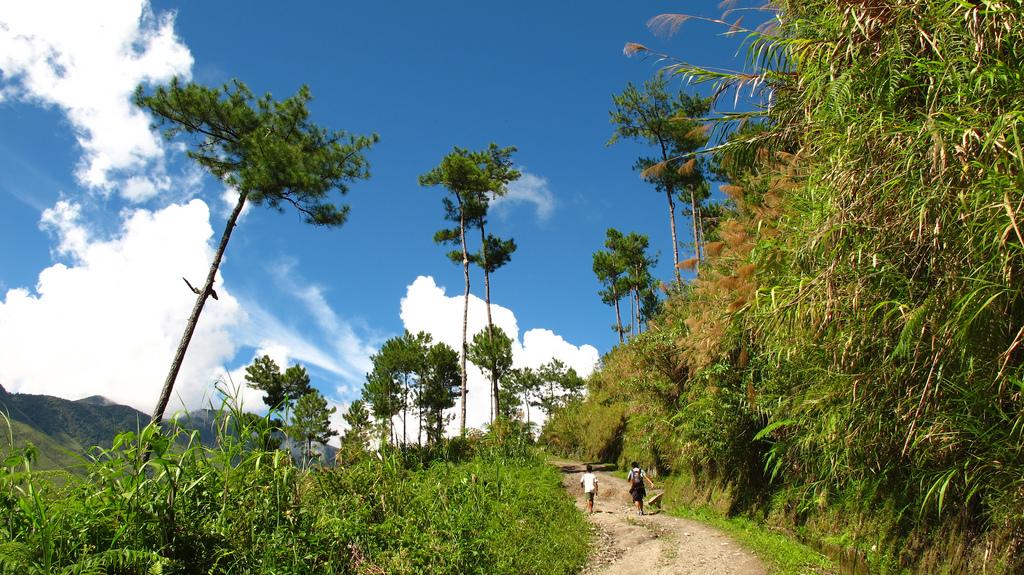


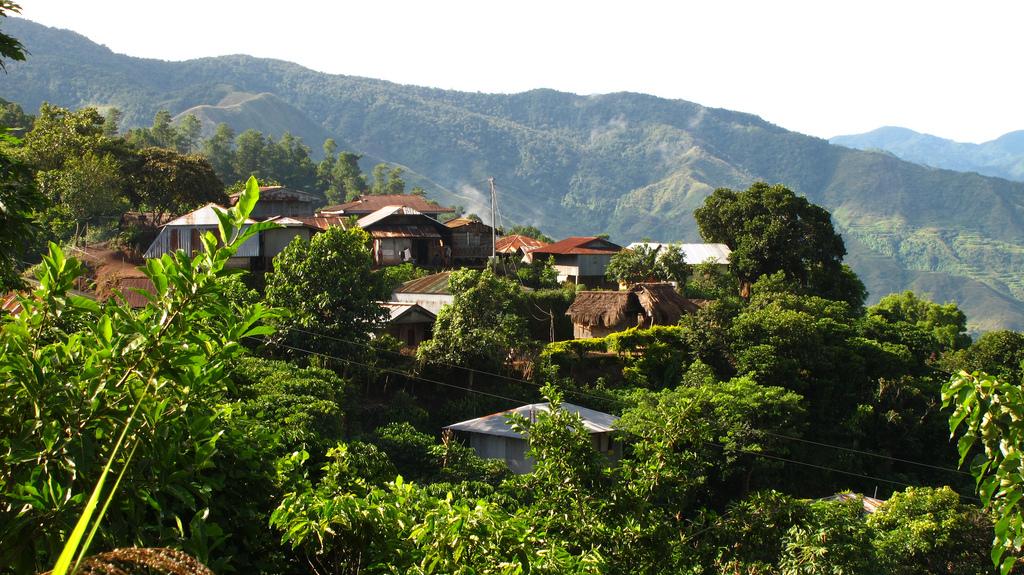
The province of Kalinga in northern Luzon is a distant but exciting land overflowing with the wonders of nature and blessed with a landscape unique from the rest of the world. Its rugged, mountainous terrain and gorgeous scenery have made it the interest of various people and groups throughout the years.
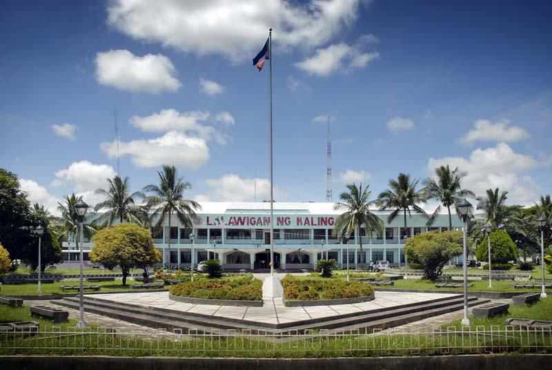
The Province of Kalinga is a landlocked province of the Philippines in the Cordillera Administrative Region in Luzon. Its capital is Tabuk and borders Mountain Province to the south, Abra to the west, Isabela to the east, Cagayan to the northeast, and Apayao to the north. Kalinga and Apayao are the result of the 1995 partitioning of Kalinga-Apayao; this was to better service the respective needs of the various indigenous peoples in the area.
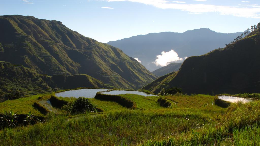
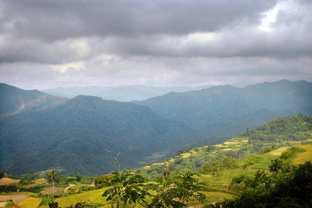
The topography of Kalinga province is rugged and sloping, with mountain peaks ranging from 1,500 to 2,500 metres (4,900 to 8,200 ft) in elevation. The province’s western side is characterised by sharp, crested, interlinking peaks of steep slopes, isolated flatlands, plateaus and valleys. The eastern lands are mainly of rolling and gradually sloping foothills.
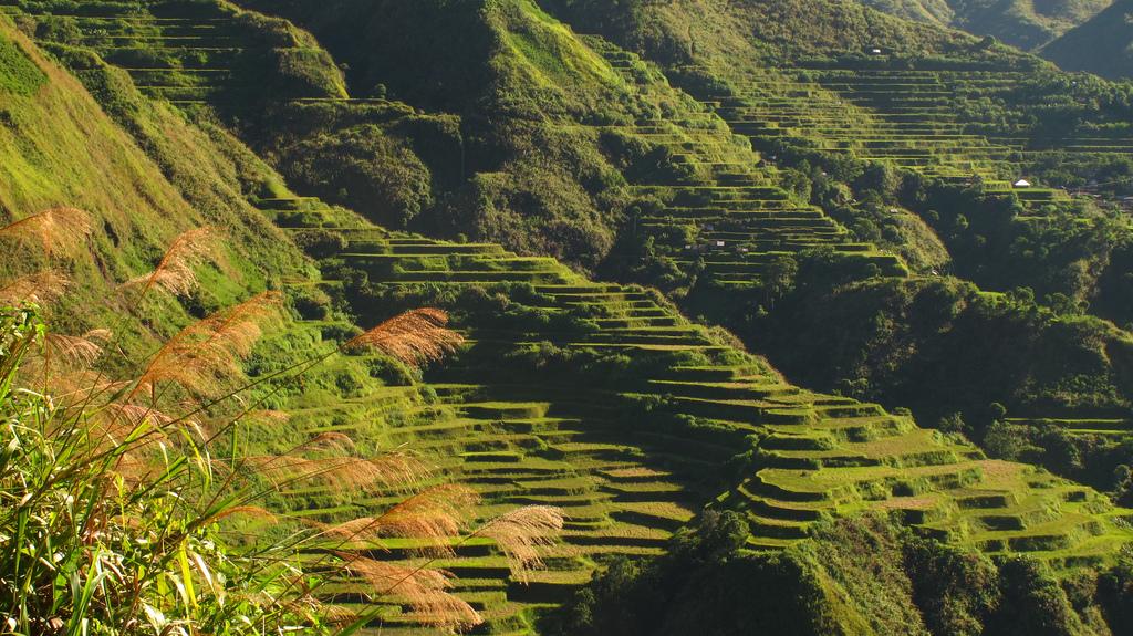
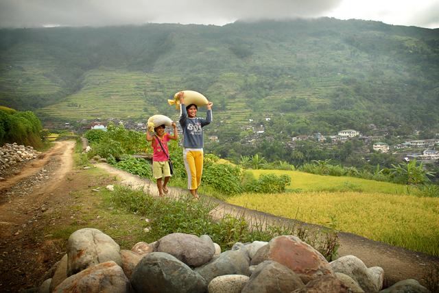
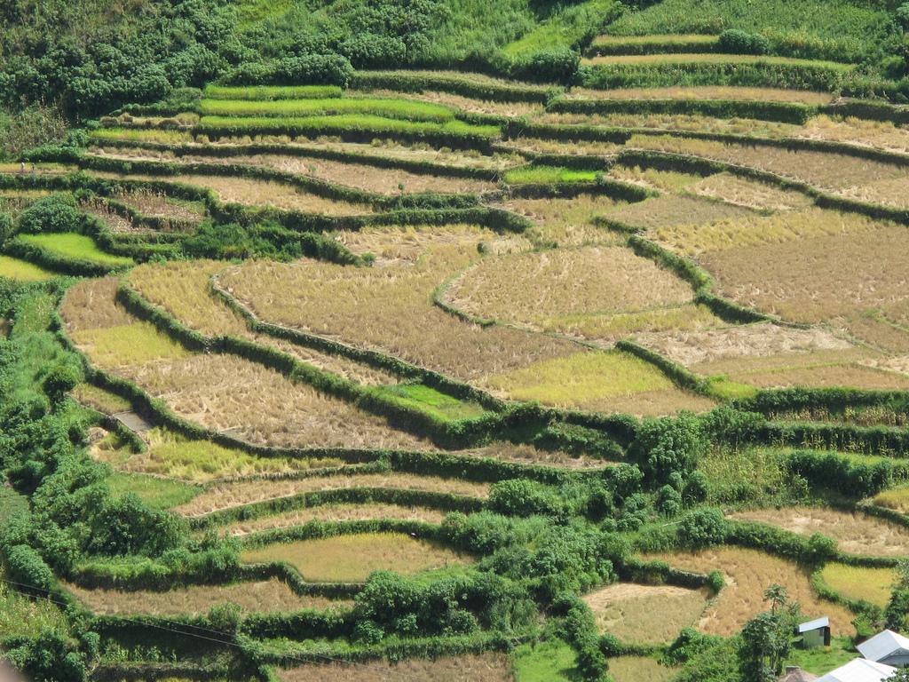
Large swaths of the province's lowlands are open grassland suitable for pasture, while the highlands have extensive areas of tropical rainforest. In higher elevations to the west, particularly in the mountains of Balbalan, lie some of the most intact pine forests of Luzon island. Rizal and Tabuk with their flatlands are the biggest rice producers. Next in rice production are the mountainous area, and of note are the rice terraces of Balbalan, Lubuagan, Pasil, Pinukpuk, Tinglayan, and Tanudan.
The province enjoys an average temperature ranging from 17 to 22 °C (63 to 72 °F) with Type 3 weather patterns. The dry season extends from November to April, while the rest of the year is considered the rainy season, the heaviest rains usually occurring from July to October.
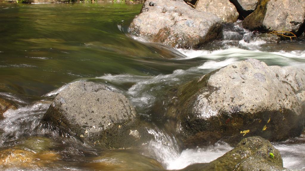
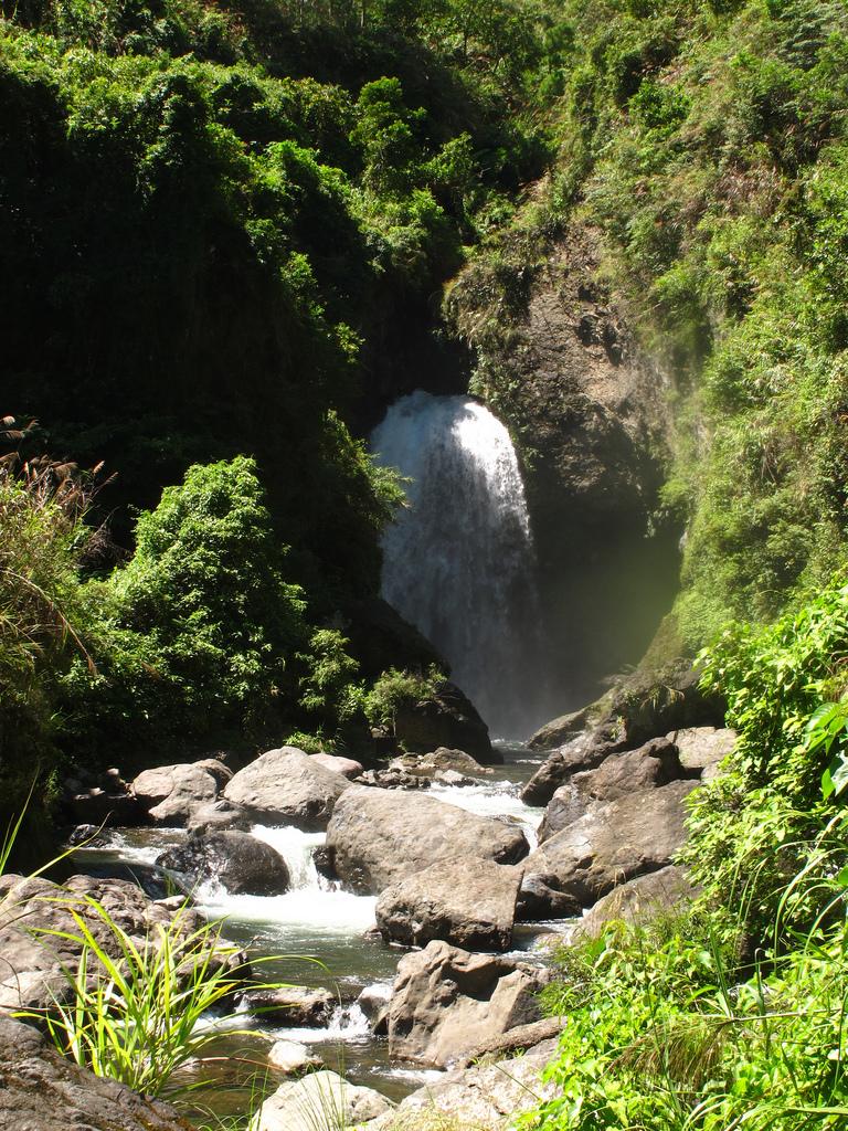
The province is drained mainly by the Chico River, with its headwaters in the Mountain Province and emptying into the Cagayan River. The Chico River has several tributaries: Bunog River in Tinglayan in the south; the Tanudan and Biga Rivers in the east; Pasil River in the central area; and Poswoy, Dao-angan, Mabaca and Saltan Rivers in the west. Several small lakes can also be found in Kalinga. These water resources if to be tapped could provide abundant sources for power generation, fishing, irrigation and for domestic use, but would destroy rice terraces, villages, livelihoods, and complete indigenous cultures.
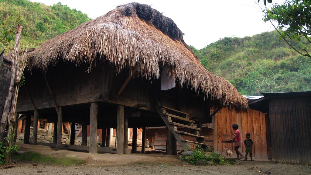
The Kalinga people are the most extensive rice farmers of the Cordillera peoples, having been blessed with some of the most suitable land for both wet and dry rice farming. Like the Ifugao, the Kalinga are prolific terrace builders. The Kalinga are also skilled craftsmen, well-versed in basketry, loom weaving, metalsmithing, and pottery, the last centered in the lower Chico River Valley.
Visit Kalinga and experience the wonders of the province firsthand. To get there, there are buses that go to Tabuk from Metro Manila, or one can take a plane to Tuguegarao then take a jeep or bus to Tabuk.
Gallery: