


Agno River is a river in the Philippine island of Luzon, in the province of Pangasinan. It is the third largest river in Luzon (next to Cagayan River and Pampanga River) and the fifth largest river in the Philippines with drainage area of 5,952 km².
Tributaries of Agno River
The headwaters of Agno River are at the slopes of Mount Data in the Cordillera Mountains at an elevation of 2,090 m, where it drains Cretaceous to Paleocene igneous basement rocks, and marine siliciclastic and carbonate rocks. Of its total length, about 90 kilometers runs through mountainous terrain and canyons.
As the river descends following a southerly course, it exhibits a braided channel pattern. It then transforms into a southwest-directed meandering river as it crosses the Central Luzon Plain. From its confluence with the Tarlac River emanating from the south, the Agno River then veers northward while draining the eastern flanks of the Zambales Mountains.
The Agno's principal tributaries include the Pila, Camiling, Tarlac and Ambayoan Rivers. The main branch of the Agno River is Tarlac River which originates from Mount Pinatubo (elevation 1,745 m) in Tarlac and joins the Agno River at Poponto Swamp near Bayambang. The swamp has an area of about 25 square kilometers and temporarily retains flood waters from Tarlac River.
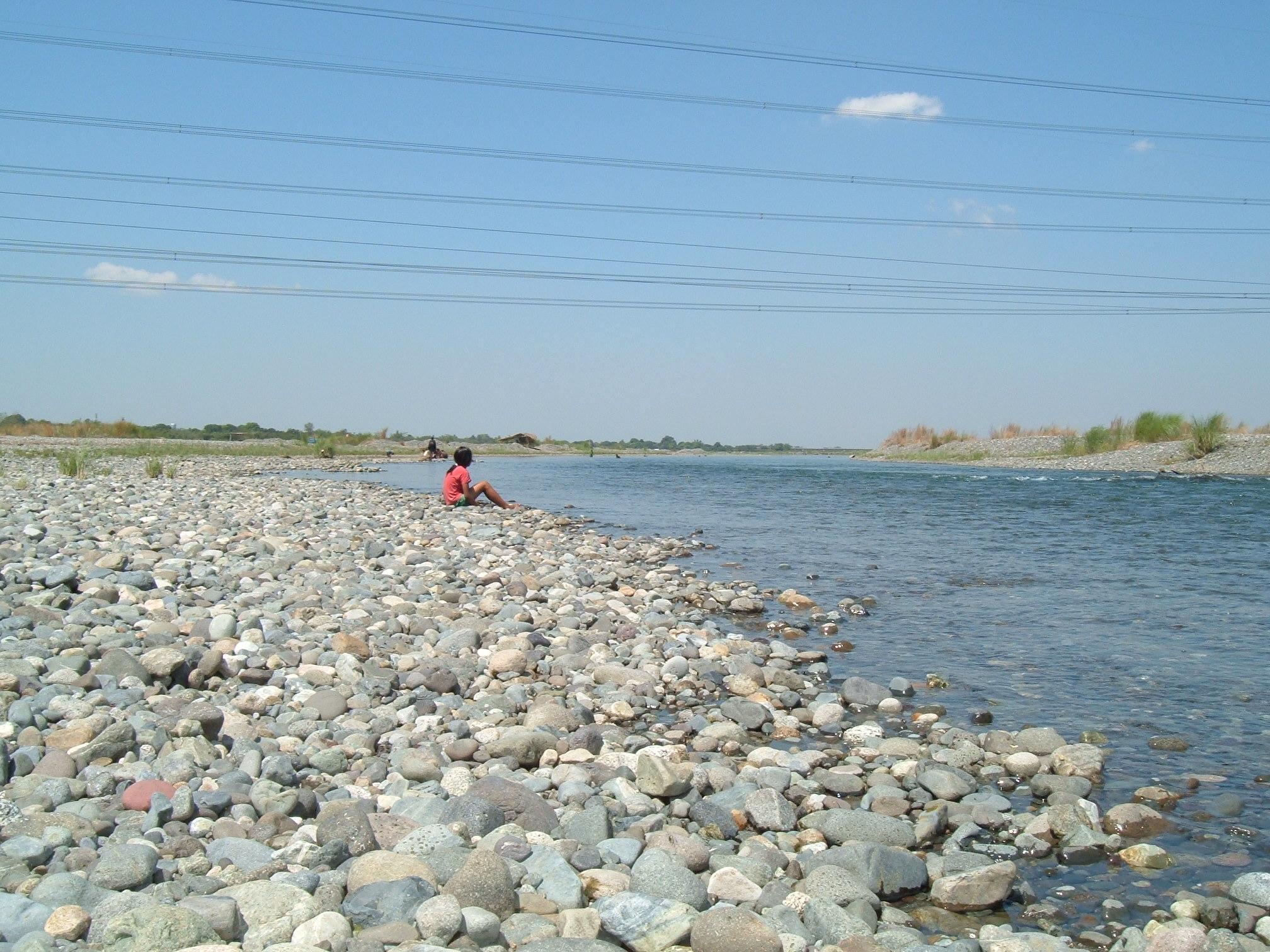
After passing through mountains at an average elevation of some 2,000 feet (600 m) ASL, the Agno River forms a vast alluvial fan and delta called the Pangasinan Plain, a historically vital ecoonomic hub on Luzon Island.
Flora and Fauna
Spanish explorers who documented the catchment area of the river in the 16th century say the mouth of the Agno was an extensive marshland with rich alluvial soil. It was thickly covered with mangrove and nipa palm trees which served as habitat to many marshland wildlife species.
But the catchment area is now severely deforested. Primary forest has almost completely disappeared apart from a few areas above 800 m ASL. The forests have been replaced by grassland and riceland.
People of the River
The Agno traverses several towns in Benguet province where some 35,000 indigenous Ibaloi, Kankanaey and Kalanguya people live. The Ibaloi people of Benguet regard the river as sacred because it gives life.
Barangay Dalupirip, Itogon in Benguet province is held sacred by its people. Portions of the land serve as the burial grounds of their ancestors. The place holds great historical value and is considered one of the remaining seats of Ibaloi culture.
Archaeological sites were discovered at Sitio Camanggaan, Barangay San Roque in San Manuel, Pangasinan and in surrounding areas. Yields consisted of tradeware and earthenware shards and Palaeolithic and Neolithic stone tools.
Economic Importance
The river has three hydroelectric plants: Binga Dam in Itogon, Benguet (29 km upstream); Ambuklao Dam in Bokod, Benguet (37 km upstream) and the San Roque Dam in San Manuel, Pangasinan. Binga has been operational since 1960 and Ambuklao since 1956.
There are several mining concessions in the upper reaches of the river.
The government has also established the Agno River irrigation system to provide irrigation water to some 60 to 100 square kilometers of ricelands in Pangasinan.